










DGNSS

Product Specifications
| Base Station | Fixed GNSS reference station used to provide correction data to the mobile Rover unit |
|---|---|
| Compatible CEIA Systems | Designed for integration with CEIA ground-search and vehicle-mounted detection systems supporting DGNSS |
| Correction Method | Differential correction data transmitted from the Base Station to the Rover |
| Data Integration | Position information can be combined with CEIA metal-detector detection data |
| Detection Mapping | Allows detected targets to be geographically mapped for later analysis and reporting |
| Key Advantage | Combines high-precision geographic positioning with CEIA metal-detection data to create accurate target and survey maps |
| Manufacturer | CEIA |
| Positioning Accuracy | Centimetric-level positioning accuracy under suitable GNSS conditions |
| Positioning Technology | Differential GNSS using a Base Station and Rover configuration |
| Post-Processing | Supports correlation of detector signal information with geographic position |
| Primary Application | High-accuracy geolocation and mapping of metal-detection targets during ground-search and UXO/ERW clearance operations |
| Primary Function | Provides precise geographic coordinates for detected targets and surveyed areas |
| Product Name | CEIA DGNSS Differential GNSS Positioning System |
| Product Type | High-Precision Differential Global Navigation Satellite System (DGNSS) |
| Real-Time Operation | Can provide real-time positioning information when configured with the appropriate correction link |
| Rover Unit | Mobile GNSS receiver carried or mounted on the detector/search system |
| Survey Advantage | Reduces uncertainty in target location and enables systematic recording of cleared or surveyed areas |
| System Configuration | DGNSS/BASE + DGNSS/ROVER |
| Traceability | Provides accurate spatial records of surveyed areas and detected objects |
| Typical Applications | UXO clearance / ERW survey / humanitarian demining / military route clearance / contaminated-area mapping / ground-search operations |
DGNSS
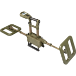
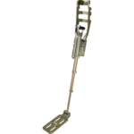
The CEIA DGNSS is a Differential Global Navigation Satellite System for use with CEIA DSMD® Metal Detectors, allowing the combined recording of differential georeferencing data, with centrimetic precision, and metal detector output signal strength on an embedded memory. Upon search operations completion, all recorded data can be exported to a PC system for postprocessing, map overlaying, screen visualization and mass storage recording. The CEIA DGNSS is a differential global satellite navigation system designed for use in combination with the CEIA DSMD® metal detector.
The system consists of a fixed DGNSS/BASE unit and a mobile DGNSS/ROVER1 unit for each metal detector. At the end of the search operations the DSMD® unit enables the recordings of the differential positioning data, with centimetre precision, and the alarm levels of the metal detector to be extracted on a USB stick or on a PC.
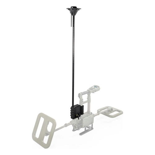
DGNSS/BASE : The DGNSS/BASE, installed in a fixed position in the same search area, receives the signals sent by the visible satellites, calculates the coordinates of the relative position and transmits them, by RF connection in broadcast mode, to the DGNSS/ROVER1 unit.
DGNSS/ROVER1 : The DGNSS/ROVER1 receives the signals sent by visible satellites and the coordinates transmitted using RF connection from the DGNSS/BASE and calculates, with respect to the latter, its relative position with centimetre accuracy.